Montavilla Atlas
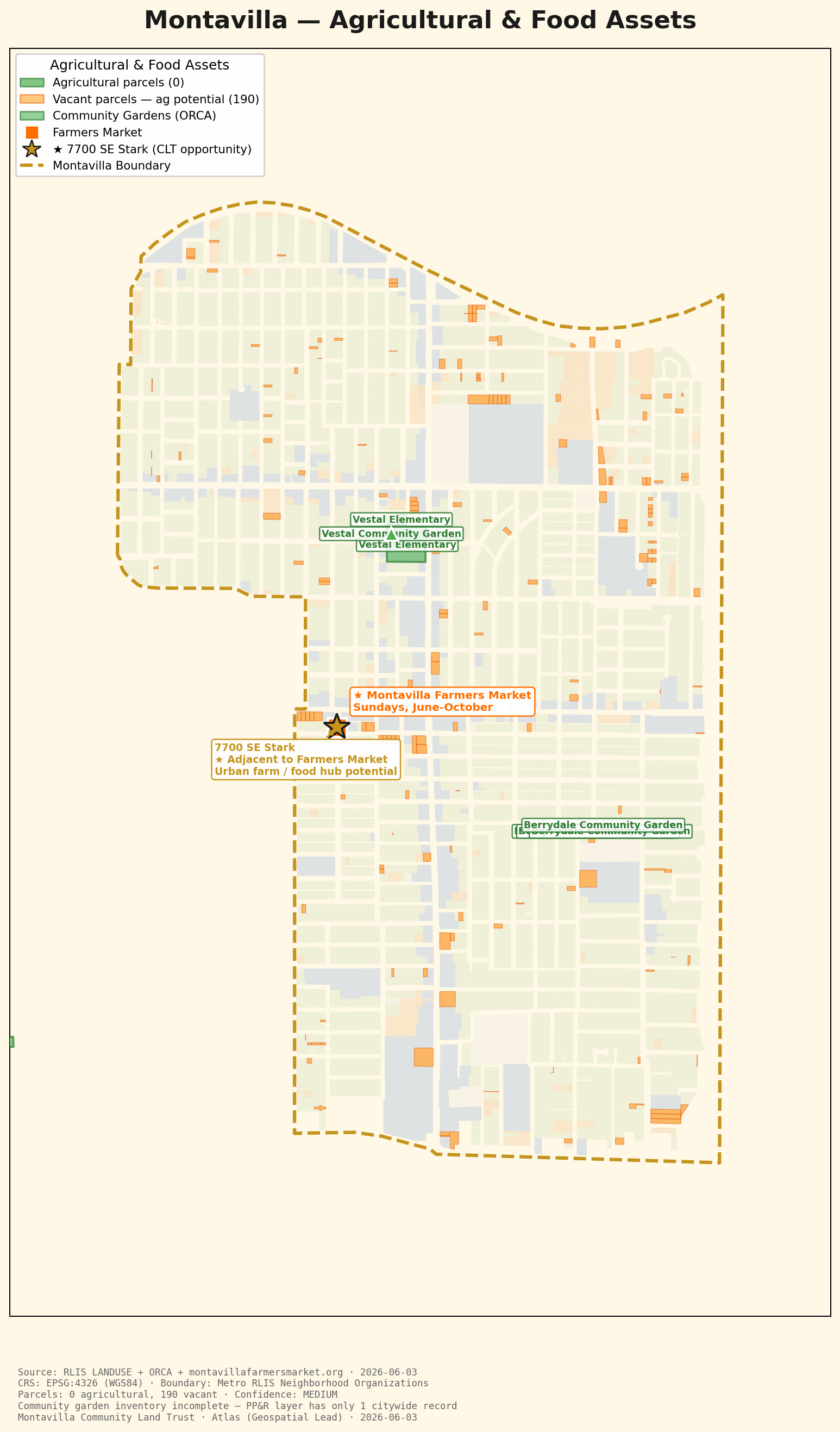
Food-system assets across Montavilla — the farmers market, community gardens, and the vacant land that could support new urban agriculture.
← Back to the Atlas| Dataset | Source | Date | License |
|---|---|---|---|
| Parcels & land use | Metro RLIS LANDUSE | 2026-06-03 | Open data |
| Community gardens | Metro RLIS ORCA / PP&R CommunityGardens | 2026-06-03 | Open data |
| Farmers market | montavillafarmersmarket.org / local knowledge | 2026 | Public info |
Filtered RLIS land-use classifications for agricultural and vacant parcels, then overlaid ORCA community gardens and the geocoded farmers-market location.
MEDIUM. RLIS land use is authoritative for parcel classification but does not capture informal agriculture (backyard or guerrilla gardens). The market location is from local knowledge rather than a geocoded address.